QUESTION IMAGE
Question
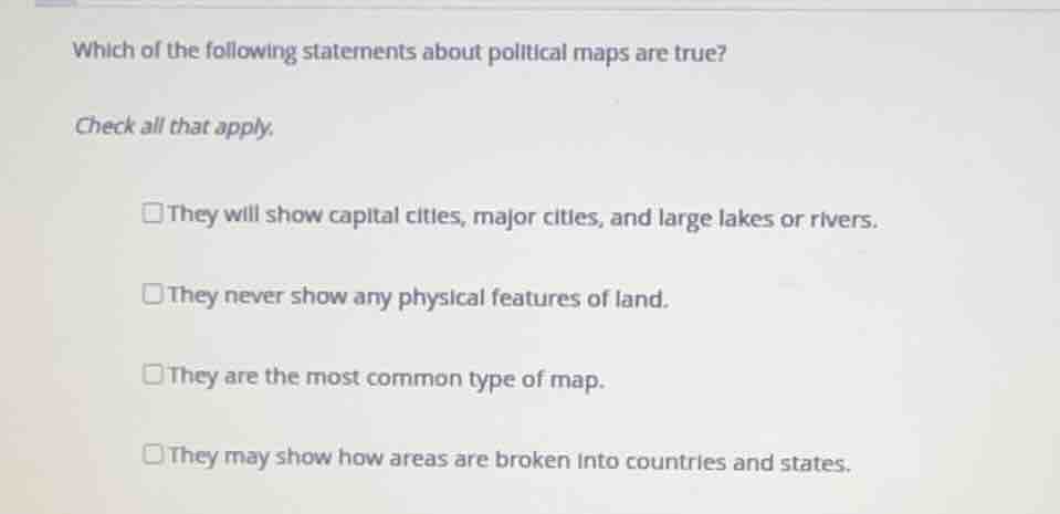
which of the following statements about political maps are true?
check all that apply.
they will show capital cities, major cities, and large lakes or rivers.
they never show any physical features of land.
they are the most common type of map.
they may show how areas are broken into countries and states.
Analyze the definition and features of political maps
Political maps are designed to show governmental boundaries of countries, states, and counties, the location of major cities, and they usually include significant bodies of water (like large lakes and rivers) as reference points.
Evaluate each statement
- Statement 1: "They will show capital cities, major cities, and large lakes or rivers." This is true because political maps include major human settlements and major water bodies for geographic context.
- Statement 2: "They never show any physical features of land." This is false; while they focus on political boundaries, they often include major physical features like large lakes, rivers, or mountain ranges as reference markers.
- Statement 3: "They are the most common type of map." This is true; political maps and physical maps are the most widely used and recognized reference maps.
- Statement 4: "They may show how areas are broken into countries and states." This is true; this is the primary purpose of a political map.

Snap & solve any problem in the app
Get step-by-step solutions on Sovi AI
Photo-based solutions with guided steps
Explore more problems and detailed explanations
- **They will show capital cities, major cities, and large lakes or rivers.</mcq-option>
- They never show any physical features of land.
<mcq-correct>They are the most common type of map. (Correct answer)**
- They may show how areas are broken into countries and states. (Correct answer)