QUESTION IMAGE
Question
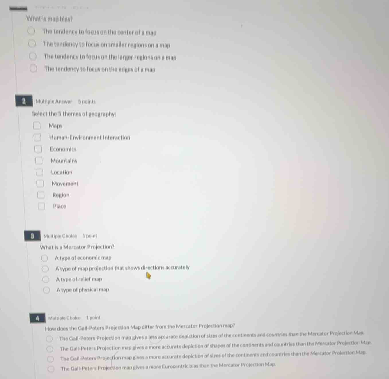
what is map bias?
- the tendency to focus on the center of a map
- the tendency to focus on smaller regions on a map
- the tendency to focus on the larger regions on a map
- the tendency to focus on the edges of a map
2 multiple answer 5 points
select the 5 themes of geography:
- maps
- human-environment interaction
- economics
- mountains
- location
- movement
- region
- place
3 multiple choice 1 point
what is a mercator projection?
- a type of economic map
- a type of map projection that shows directions accurately
- a type of relief map
- a type of physical map
4 multiple choice 1 point
how does the gall-peters projection map differ from the mercator projection map?
- the gall-peters projection map gives a less accurate depiction of sizes of the continents and countries than the mercator projection map.
- the gall-peters projection map gives a more accurate depiction of shapes of the continents and countries than the mercator projection map.
- the gall-peters projection map gives a more accurate depiction of sizes of the continents and countries than the mercator projection map.
- the gall-peters projection map gives a more eurocentric bias than the mercator projection map.
Analyze map bias definition
Map bias refers to distortions in size, shape, or prominence on a map. The Mercator projection, for example, exaggerates the size of landmasses near the poles, leading to a tendency to focus on the larger-looking regions. Thus, map bias is the tendency to focus on the larger regions on a map.
Identify the 5 themes of geography
The five traditional themes of geography are Location, Place, Human-Environment Interaction, Movement, and Region.
Define Mercator Projection
The Mercator projection is a cylindrical map projection designed for navigation, which preserves angles and shows directions accurately along any straight line.
Compare Gall-Peters and Mercator Projections
The Mercator projection distorts the relative size of landmasses (exaggerating high latitudes). The Gall-Peters projection is an equal-area projection, meaning it gives a more accurate depiction of the relative sizes of the continents and countries compared to the Mercator projection.

Snap & solve any problem in the app
Get step-by-step solutions on Sovi AI
Photo-based solutions with guided steps
Explore more problems and detailed explanations
Question 1
- The tendency to focus on the center of a map
- The tendency to focus on smaller regions on a map
- The tendency to focus on the larger regions on a map (Correct answer)
- The tendency to focus on the edges of a map
Question 2
- Maps
- Human-Environment Interaction (Correct answer)
- Economics
- Mountains
- Location (Correct answer)
- Movement (Correct answer)
- Region (Correct answer)
- Place (Correct answer)
Question 3
- A type of economic map
- A type of map projection that shows directions accurately (Correct answer)
- A type of relief map
- A type of physical map
Question 4
- The Gall-Peters Projection map gives a less accurate depiction of sizes of the continents and countries than the Mercator Projection Map.
- The Gall-Peters Projection map gives a more accurate depiction of shapes of the continents and countries than the Mercator Projection Map.
- The Gall-Peters Projection map gives a more accurate depiction of sizes of the continents and countries than the Mercator Projection Map. (Correct answer)
- The Gall-Peters Projection map gives a more Eurocentric bias than the Mercator Projection Map.