QUESTION IMAGE
Question
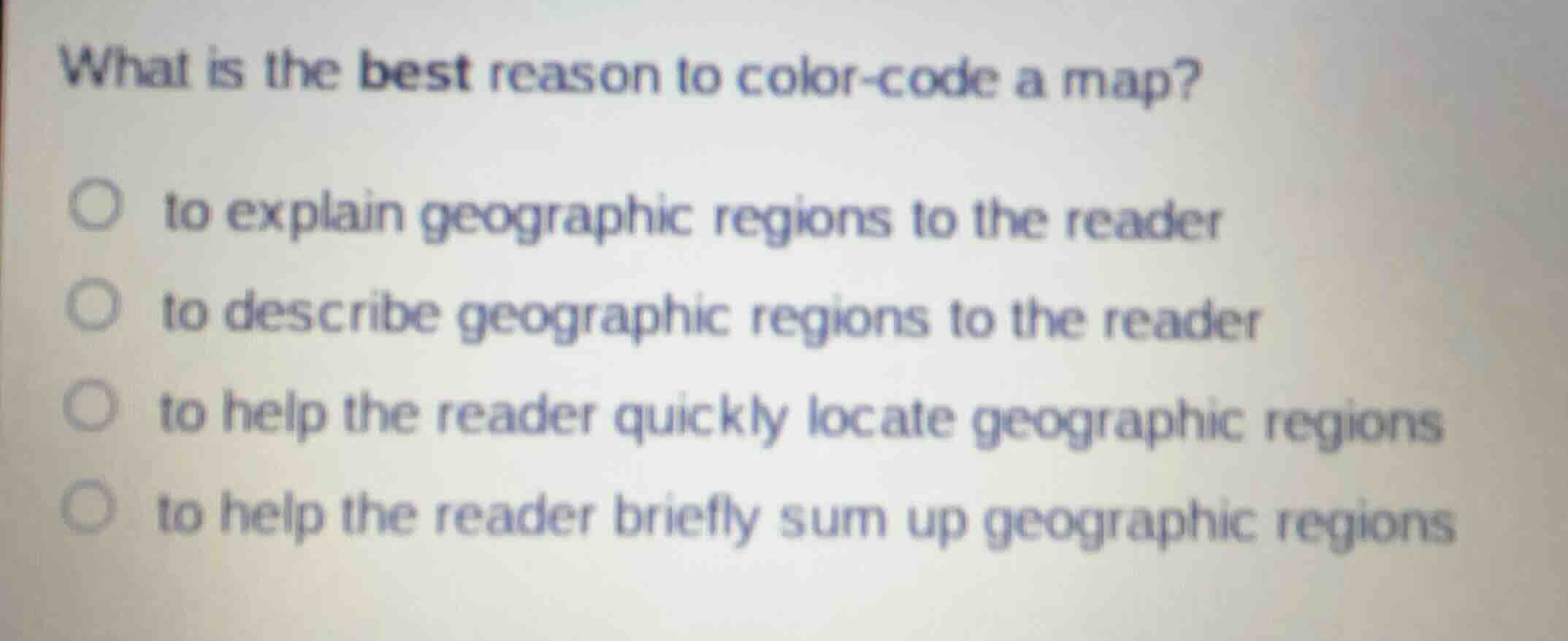
what is the best reason to color-code a map?
to explain geographic regions to the reader
to describe geographic regions to the reader
to help the reader quickly locate geographic regions
to help the reader briefly sum up geographic regions
Analyze the purpose of color-coding on maps
Color-coding is a visual design tool used to make spatial data immediately distinguishable. It does not write explanations, provide textual descriptions, or write summaries. Instead, it serves as a visual aid that allows a reader's eyes to scan and instantly find specific areas.
Evaluate the given options
- "to explain geographic regions to the reader": Explanations require text or legends, not just color.
- "to describe geographic regions to the reader": Descriptions require textual or verbal details.
- "to help the reader quickly locate geographic regions": Color-coding provides immediate visual contrast, allowing rapid scanning and location.
- "to help the reader briefly sum up geographic regions": Summaries are textual or conceptual syntheses.

Snap & solve any problem in the app
Get step-by-step solutions on Sovi AI
Photo-based solutions with guided steps
Explore more problems and detailed explanations
- to explain geographic regions to the reader
- to describe geographic regions to the reader
- to help the reader quickly locate geographic regions (Correct answer)
- to help the reader briefly sum up geographic regions