QUESTION IMAGE
Question
Question was provided via image upload.
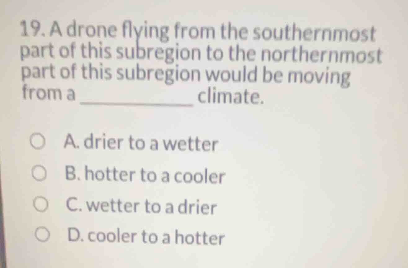
Identify the subregion
The question refers to "this subregion" from a context that is not fully visible in the cropped image. However, based on standard high school geography curricula covering African subregions (which matches the student's profile of mastered concepts like African Subregions, West African Geography, Sahel Geography, and Sahara Desert Geography), this question typically refers to West Africa.
Analyze the climate gradient
In West Africa, there is a distinct latitudinal climate transition:
- The southernmost part of West Africa lies along the Gulf of Guinea, which experiences a humid tropical/monsoon climate with high annual rainfall (wetter).
- Moving northwards, the climate transitions through the semi-arid Sahel region and eventually reaches the extremely arid Sahara Desert in the northernmost part (drier).
Determine the direction of movement
A drone flying from the southernmost part (wet tropical coast) to the northernmost part (dry desert) would be moving from a wetter climate to a drier climate. Therefore, the correct option is C.

Snap & solve any problem in the app
Get step-by-step solutions on Sovi AI
Photo-based solutions with guided steps
Explore more problems and detailed explanations
- A. drier to a wetter
- B. hotter to a cooler
- C. wetter to a drier (Correct answer)
- D. cooler to a hotter