QUESTION IMAGE
Question
question 12 of 19
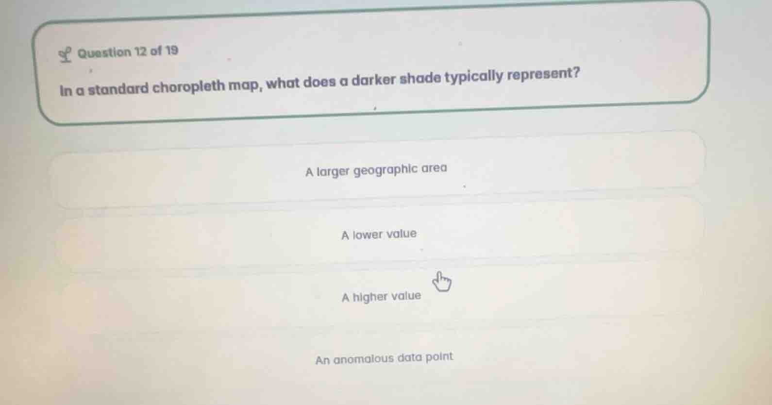
in a standard choropleth map, what does a darker shade typically represent?
a larger geographic area
a lower value
a higher value
an anomalous data point
Define choropleth map shading conventions
In thematic cartography, a Choropleth Map uses progressive color saturation or shading intensity to represent data values within predefined geographic areas.
Analyze standard shading representation
By standard cartographic convention, darker shades or higher color intensities represent higher numerical values, densities, or concentrations of the measured variable.
Evaluate the given options
- "A larger geographic area" is incorrect; area size is determined by administrative boundaries, not shading.
- "A lower value" is incorrect; lighter shades typically represent lower values.
- "A higher value" is correct; darker shades represent higher values.
- "An anomalous data point" is incorrect; anomalies are not represented by standard dark shading.

Snap & solve any problem in the app
Get step-by-step solutions on Sovi AI
Photo-based solutions with guided steps
Explore more problems and detailed explanations
- A larger geographic area
- A lower value
- A higher value (Correct answer)
- An anomalous data point