QUESTION IMAGE
Question
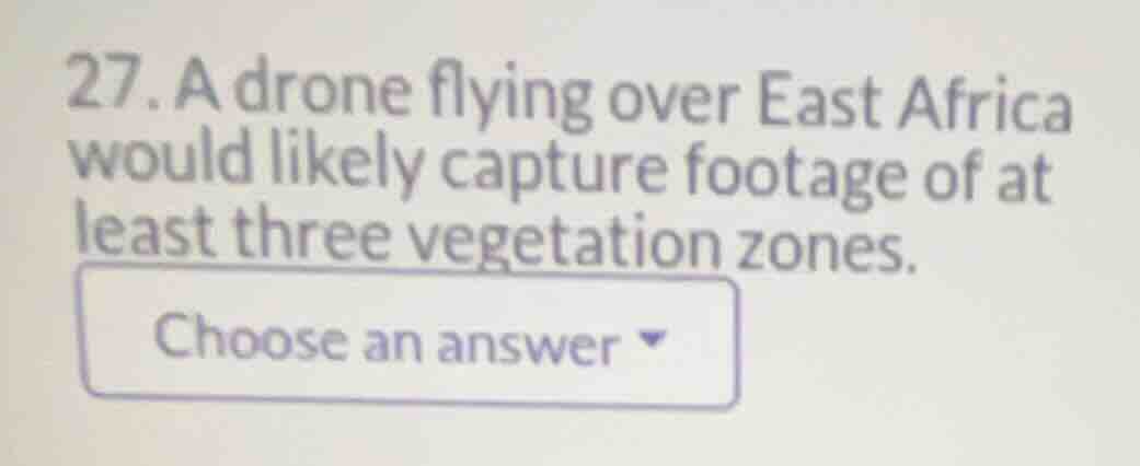
- a drone flying over east africa would likely capture footage of at least three vegetation zones.
Analyze East African geography
Using the African Geography knowledge point, we examine the physical landscape of East Africa. This region is characterized by highly diverse topography, including the East African Rift, high volcanic peaks (such as Mount Kilimanjaro and Mount Kenya), deep valleys, and coastal plains.
Identify vegetation zones
Because of the dramatic variations in elevation and precipitation, East Africa contains several distinct ecological and vegetation zones:
- Tropical rainforests and montane forests in the wetter highlands.
- Savannas and grasslands (such as the Serengeti) covering the vast plains.
- Semi-desert shrublands and deserts in drier areas (such as parts of Somalia and northern Kenya).
Evaluate the statement
A drone flying across this region would easily cross these varying elevations and moisture gradients, capturing footage of at least three distinct vegetation zones (e.g., forest, savanna, and shrubland/desert). Therefore, the statement is true.

Snap & solve any problem in the app
Get step-by-step solutions on Sovi AI
Photo-based solutions with guided steps
Explore more problems and detailed explanations
- A drone flying over East Africa would likely capture footage of at least three vegetation zones. <blank>True</blank>