QUESTION IMAGE
Question
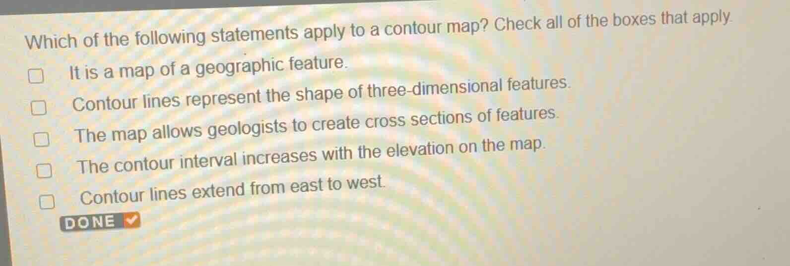
which of the following statements apply to a contour map? check all of the boxes that apply.
it is a map of a geographic feature.
contour lines represent the shape of three-dimensional features.
the map allows geologists to create cross sections of features.
the contour interval increases with the elevation on the map.
contour lines extend from east to west.
Analyze the definition of a contour map
A contour map (topographic map) represents geographic features by using contour lines to show elevation and the three-dimensional shape of the terrain.
Evaluate each statement
- "It is a map of a geographic feature." (True: It represents physical landforms and terrain features.)
- "Contour lines represent the shape of three-dimensional features." (True: They connect points of equal elevation to show 3D shape on a 2D plane.)
- "The map allows geologists to create cross sections of features." (True: Topographic profiles/cross sections are constructed directly from contour maps.)
- "The contour interval increases with the elevation on the map." (False: The contour interval is constant for a given map.)
- "Contour lines extend from east to west." (False: Contour lines form closed loops or follow the shape of the terrain, not restricted to any cardinal direction.)
Identify the correct statements
The first three statements are correct.

Snap & solve any problem in the app
Get step-by-step solutions on Sovi AI
Photo-based solutions with guided steps
Explore more problems and detailed explanations
- It is a map of a geographic feature. (Correct answer)
- Contour lines represent the shape of three-dimensional features. (Correct answer)
- The map allows geologists to create cross sections of features. (Correct answer)
- The contour interval increases with the elevation on the map.
- Contour lines extend from east to west.