QUESTION IMAGE
Question
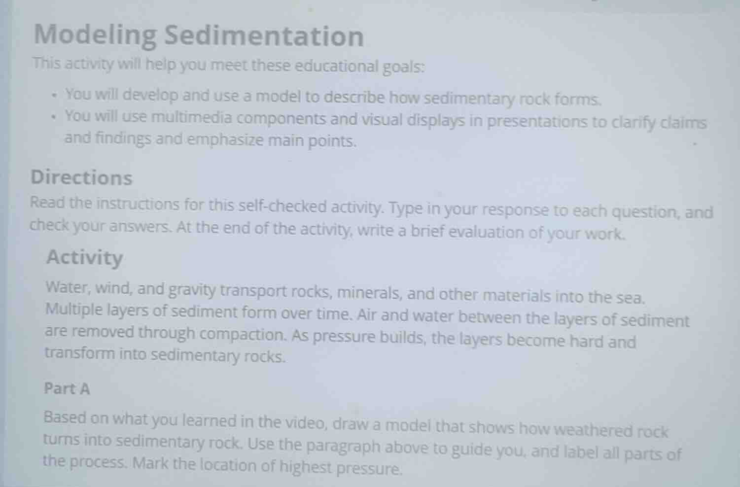
modeling sedimentation
this activity will help you meet these educational goals:
- you will develop and use a model to describe how sedimentary rock forms.
- you will use multimedia components and visual displays in presentations to clarify claims and findings and emphasize main points.
directions
read the instructions for this self-checked activity. type in your response to each question, and check your answers. at the end of the activity, write a brief evaluation of your work.
activity
water, wind, and gravity transport rocks, minerals, and other materials into the sea. multiple layers of sediment form over time. air and water between the layers of sediment are removed through compaction. as pressure builds, the layers become hard and transform into sedimentary rocks.
part a
based on what you learned in the video, draw a model that shows how weathered rock turns into sedimentary rock. use the paragraph above to guide you, and label all parts of the process. mark the location of highest pressure.
Analyze the modeling requirements
The prompt asks to draw a model showing how weathered rock turns into sedimentary rock based on the provided text. The key stages described are:
- Transport of rocks, minerals, and materials into the sea by water, wind, and gravity (Erosion & Deposition).
- Formation of multiple sediment layers over time (Stratification).
- Removal of air and water between layers through compaction (Compaction).
- Hardening and transformation into sedimentary rock as pressure builds (Cementation & Lithification).
- Marking the location of highest pressure (at the bottom-most layer).
Structure the conceptual model
To represent this process visually, we can design a diagram with four sequential stages or a layered column:
- Stage 1: Weathering & Transport: Sediments (particles) being carried by wind/water/gravity into a body of water.
- Stage 2: Deposition: Sediments settling at the bottom of the water body in horizontal layers.
- Stage 3: Compaction: Newer layers on top apply downward force, squeezing out water and air from the lower layers.
- Stage 4: Cementation (Lithification): The deepest layer becomes fully compacted and mineral-cemented, turning into solid sedimentary rock.
- Highest Pressure Indicator: An arrow pointing to the very bottom layer, labeled as the zone of highest pressure.
Describe the visual elements for the plot
We will construct a clear, multi-layered geological cross-section using JSXGraph:
- A water body at the top.
- Multiple horizontal layers of sediment with varying colors (representing different deposition times).
- Particles (points) in the upper layers to represent loose sediment.
- Squeezed-out water arrows in the middle layers.
- A solid, dense pattern or distinct color at the bottom layer to represent sedimentary rock.
- A prominent downward force arrow representing gravity and overburden pressure.
- A label pointing to the bottom layer marking "Highest Pressure".

Snap & solve any problem in the app
Get step-by-step solutions on Sovi AI
Photo-based solutions with guided steps
Explore more problems and detailed explanations
To model how weathered rock transforms into sedimentary rock, we can break the process down into four key sequential stages that occur over geological time:
- Weathering and Transport (Erosion):
Wind, water, and gravity break down existing rocks into smaller fragments (sediments) and transport them into basins, such as lakes or oceans.
- Deposition:
As the transporting medium slows down, the sediments settle out of the water or wind, accumulating in horizontal layers (strata) at the bottom of the basin. The oldest layers are at the bottom, and the youngest are at the top.
- Compaction:
As more and more layers of sediment accumulate on top, their immense weight exerts a powerful downward gravitational force. This overburden pressure squeezes the sediment particles closely together, forcing out the trapped air and water from the pore spaces.
- Cementation (Lithification):
Dissolved minerals in the remaining groundwater crystallize in the spaces between sediment grains, acting as a natural glue (cement) that binds the particles together into solid sedimentary rock.
Location of Highest Pressure
The highest pressure is located at the very bottom layer of the sediment column. This is because pressure increases with depth due to the cumulative weight of all the overlying water and sediment layers pressing down from above.