QUESTION IMAGE
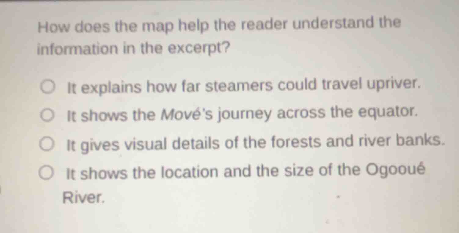
Question
Question was provided via image upload.
Identify the question's purpose
The question asks how a map (which is referenced but not shown in this cropped image) helps the reader understand the text excerpt. We must evaluate the given options to find the most logical purpose of a map in this context.
Analyze the options
- Option 1: "It explains how far steamers could travel upriver." Maps show spatial layouts, while specific travel limits are usually explained in text.
- Option 2: "It shows the Mové's journey across the equator." A map is the primary tool used to trace routes, journeys, and geographic markers like the equator.
- Option 3: "It gives visual details of the forests and river banks." Illustrations or photographs show these details, not standard maps.
- Option 4: "It shows the location and the size of the Ogooué River." While a map shows location, "size" (especially length or volume) is typically described textually rather than visually estimated from a map.
Connect to mastered concepts
Using Analyzing Visual Information and Text-Image Integration, we know that maps are specifically designed to illustrate journeys, routes, and geographic relationships (such as crossing the equator) described in a text. Tracing a vessel's journey (like the Mové) is a primary function of an accompanying map.

Snap & solve any problem in the app
Get step-by-step solutions on Sovi AI
Photo-based solutions with guided steps
Explore more problems and detailed explanations
- (A) It explains how far steamers could travel upriver.
- (B) It shows the Mové's journey across the equator. (Correct answer)
- (C) It gives visual details of the forests and river banks.
- (D) It shows the location and the size of the Ogooué River.