QUESTION IMAGE
Question
Question was provided via image upload.
Identify the context and missing elements
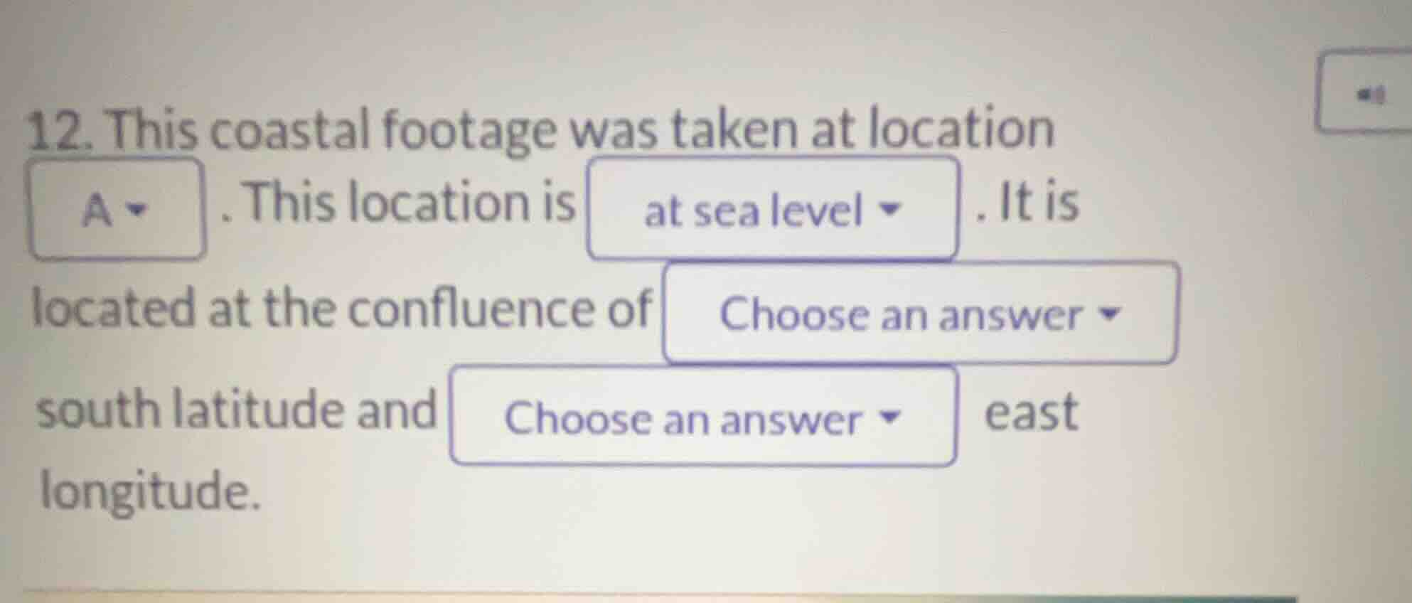
The question asks us to complete a description of a coastal location labeled "A".
The text states: "This coastal footage was taken at location A. This location is at sea level. It is located at the confluence of [Choose an answer] south latitude and [Choose an answer] east longitude."
Since the visual map or reference image showing location A and its coordinates is missing from the input, we must analyze the structure of the sentence to provide a clear, conditional framework for how a student would solve this using their map.
Analyze coordinates and confluence
The term "confluence" in geography usually refers to the meeting of two rivers, but in the context of coordinates, it refers to the intersection of a specific line of latitude and longitude (often integer degrees, known as the Degree Confluence Project).
- The latitude is specified as "south latitude".
- The longitude is specified as "east longitude".
To complete the blanks:
- Locate "A" on your reference map.
- Read the corresponding latitude value (marked in degrees South).
- Read the corresponding longitude value (marked in degrees East).

Snap & solve any problem in the app
Get step-by-step solutions on Sovi AI
Photo-based solutions with guided steps
Explore more problems and detailed explanations
- This coastal footage was taken at location <blank>A</blank>. This location is <blank>at sea level</blank>. It is located at the confluence of <blank>[latitude value, e.g., \(20^\circ\)]</blank> south latitude and <blank>[longitude value, e.g., \(115^\circ\)]</blank> east longitude.