QUESTION IMAGE
Question
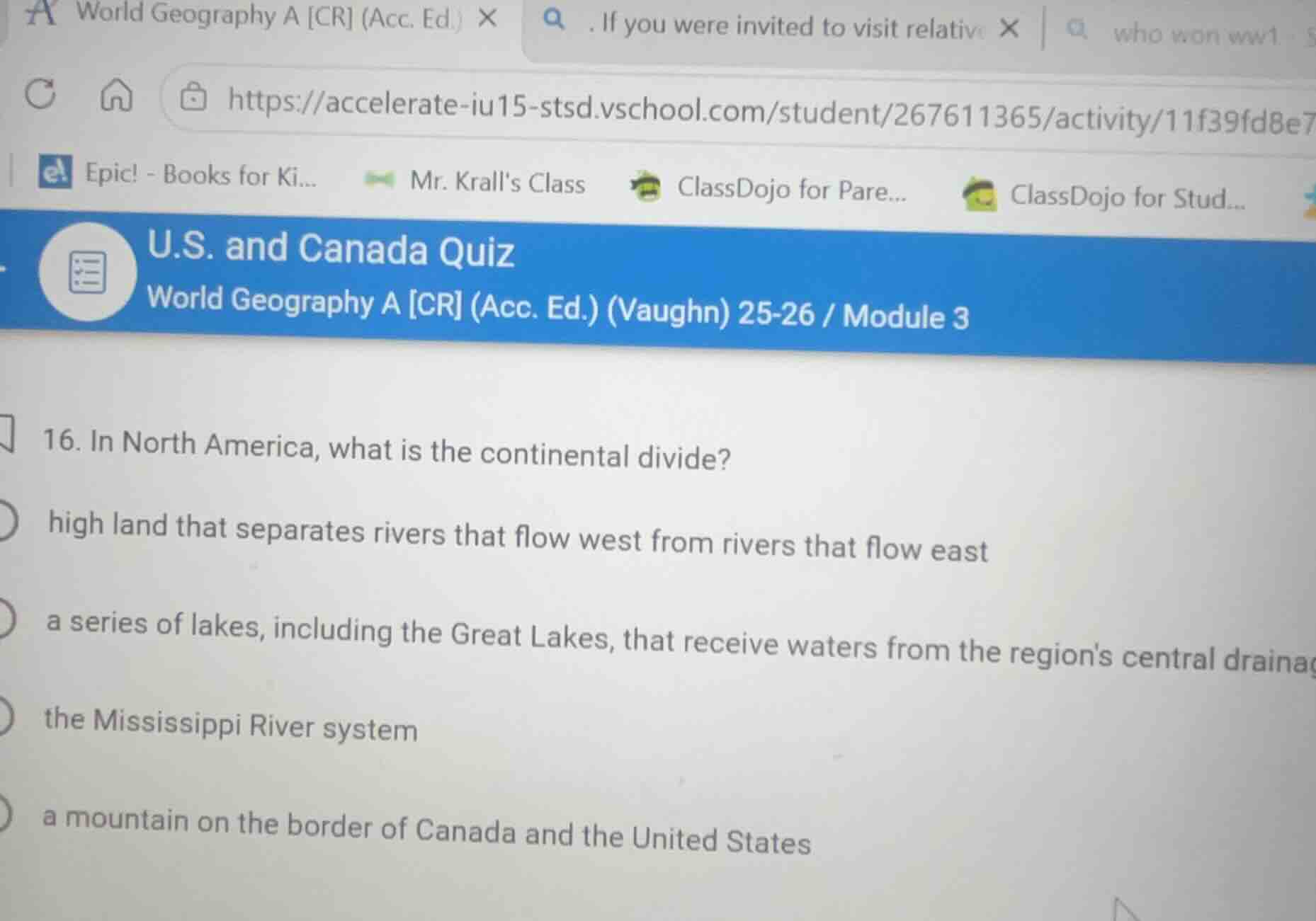
- in north america, what is the continental divide?
high land that separates rivers that flow west from rivers that flow east
a series of lakes, including the great lakes, that receive waters from the regions central drainage
the mississippi river system
a mountain on the border of canada and the united states
Define the Continental Divide
Using the Continental Divide and Rocky Mountains Geography knowledge points
The Continental Divide of North America is a prominent hydrological divide. It is a line of high land, primarily running along the peaks of the Rocky Mountains, that separates the watersheds of the continent.
Analyze the drainage patterns
Using the Continental Divide knowledge point
Precipitation that falls on the western side of this divide drains toward the Pacific Ocean (flowing west). Conversely, precipitation falling on the eastern side drains toward the Atlantic Ocean, the Gulf of Mexico, or the Arctic Ocean (flowing east).
Evaluate the given options
Using the North American Geography knowledge point
- Option 1: "high land that separates rivers that flow west from rivers that flow east" — This matches the hydrological definition of the Continental Divide.
- Option 2: "a series of lakes..." — This describes the Great Lakes system, not a continental divide.
- Option 3: "the Mississippi River system" — This is a major river basin, not a divide.
- Option 4: "a mountain on the border of Canada and the United States" — This does not define the continental divide.

Snap & solve any problem in the app
Get step-by-step solutions on Sovi AI
Photo-based solutions with guided steps
Explore more problems and detailed explanations
- (A) high land that separates rivers that flow west from rivers that flow east (Correct answer)
- (B) a series of lakes, including the Great Lakes, that receive waters from the region's central drainage
- (C) the Mississippi River system
- (D) a mountain on the border of Canada and the United States